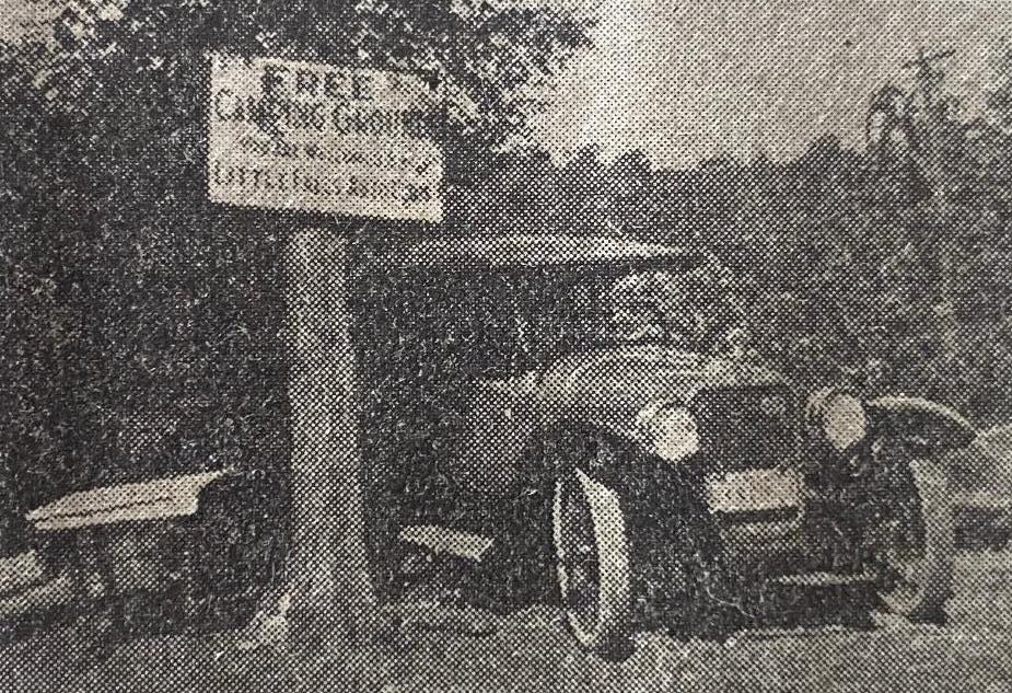
A Motorist’s Camp with a History
September 1923, Cooney Archives
Talaquega Park, the free camping place for motorists, established two years ago by the Little Falls Automobile Club, has become one of the most popular and best equipped stopping places for motor campers in the state in the eastern part of the city of Little Falls. It is equipped with electric lights, lavatories, running spring water, fireplaces and other conveniences. Between July 15 and August 1 more than 500 people camped there overnight and registered. On one night alone there were 102 persons.
The Hon. Thomas Ferguson is the manager of the park, as well as the owner of land. In discussing it recently he said:
“Being an admirer of the wonderful natural beauties, which have been preserved thru countless centuries by the hand of an all-seeing Providence, I have for a number of years had a vision of the great possibilities of increasing the popular interest in the rock formations which are located east of the Gulf Bridge.
The place has an interesting history. During the time of the red men, it was used by the Mohawk Indians as a hiding place. To the rear of what has been called Spook Rock, which is between the river and the highway, there is a wonderful pothole, about six feet in circumference and 20 feet deep. The side towards the river has an opening of about three feet. Historians of the valley tell us that the Indians used this as a place in which to hide sheep.
Soon after the sale of the Ellice properties in Little Falls, which was in the early 1830s, the property east of the Gulf Bridge came into the hands of several prominent citizens. Just before the New York Central Railroad was built, they conceived the idea of making the property valuable for factory sites, by constructing a raceway or a canal, thus giving a fine waterpower, which was essential in those days to manufacturing development. They thought that by dumping immense quantities of rock at a point from Moss Island, on the south, to a place a short distance east of the Gulf Curve, a dam could be constructed. The river at this point is from 40 to 60 feet in depth. They did not take in consideration the possibility of the water seeping thru the rock unless it was solid masonry. After a large amount of money had been expended in the manner stated, the project was given up as a total failure. Perhaps with present day methods of using cement, the plant would have been a success. Traces of this dam can be seen in the river just below the Gulf Bridge at the present time. Engineers have found a depth of 50 feet, then 20 feet for a short distance, after which it goes again to 40 feet or 50 feet.
The Utica and Schenectady Turnpike Company had a right of way over the property. All the land east of the Gulf Bridge was sold in Chancery Court in about 1840 and deeded from the Mohawk River’s edge to the New York Central Railroad Company.
Enough of past history. You ask me my aims and repeat the question that has been put to me many times, namely, “How did you happen to give this place the name, Talaquega Park?” Talaquega was a name given to this locality over 200 years ago by the Native Indians and means “little bushes on stones.” On seeing the bushes which cover the rocks, I decided it to be the appropriate name.
Prof. Piper of Buffalo, a well-known geologist, has delivered many lectures regarding the wonderful potholes that can be found only in this vicinity. They are a marvel to the traveling motorists, who have stopped here from all parts of America. All are enthused over the potholes and peculiar rock formations, the coolest spring water found in abundance, the big lock opposite, and the pretty Mohawk Palisade.”
Mr. Furguson said the tourists who camp at Talaquega Park or visit there, are all delighted with the conveniences afforded and the Surrounding scenery.


