My First and Last Train Rides by Ann Eysaman Schuyler

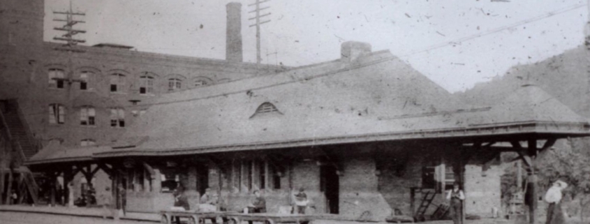
In 1944 I took my first train ride – all the way to Utica, NY. Having lived in Little Falls all my life, some of it on West Main Street at the foot of Glen Avenue, I knew about the railroad.

The 4 short Red Arrows show the Locations of the 1825 Erie Canal Locks | E36 : Lock 36, known as the Mile Lock, which had a mule shed, where mules could be rented; E37 : Lock 37, which was known as the Van Allen’s Lock, which was a mechanics drydock that was used for boat repairs; E38 : Lock 38, which was known as Perry’s Lock: and E39 : Lock 39, which was known as Leigh’s Lock. | The route of the 1825 Erie Canal is shown on the map with a dotted line on the south side of the Loomis, Seeley and Moss Island | Also marked on the map is a longer Red Arrow marking the location of the 1822 Aqueduct | Circled in Red is the 1795 Guard Lock of the Western Inland Lock Navigation Canal, with the canal path shown on the map with Black Dots, that also includes the 5 lift locks, shown with the symbol of

THE MAGNIFICENT MILE: PORTAGE TO PRESENT GRAND ERIE CANAL: 1825 PART III

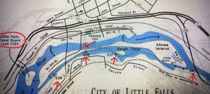
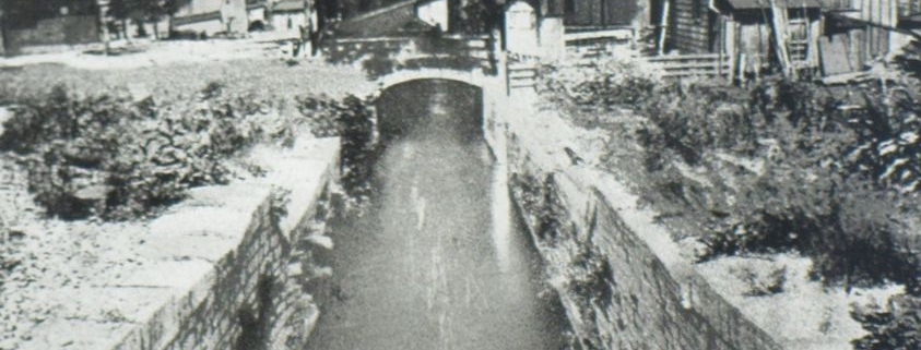
The Western Inland Lock Navigation Canal (WILNC) was the catalyst for growth in the Mohawk Valley and of the western frontier in the late 1790s.

1795 Guard Lock

THE MAGNIFICENT MILE : PORTAGE TO PRESENT. THE WESTERN INLAND LOCK NAVIGATION CANAL PART II

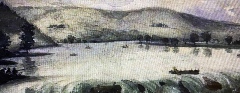
The resettlement of the village after the American Revolution began when a Scottish immigrant, John Porteous, came to Little Falls in 1785.

Circa 1880’s Rufus Grider Pencil and Graphite Drawing: “Little Falls Rapids”

THE MAGNIFICENT MILE : PORTAGE TO PRESENT THE LITTLE CARRYING PLACE PART I

UNVEILING of the HISTORIC 1795 GUARD LOCK signage will take place on Thursday morning, on August the 10th at 11 am in Little Falls.